Patent — available for licensing
3D Lidar for Autonomous Landing Site Selection
A NASA invention available to explore as a licensing opportunity.
About this technology
Overview
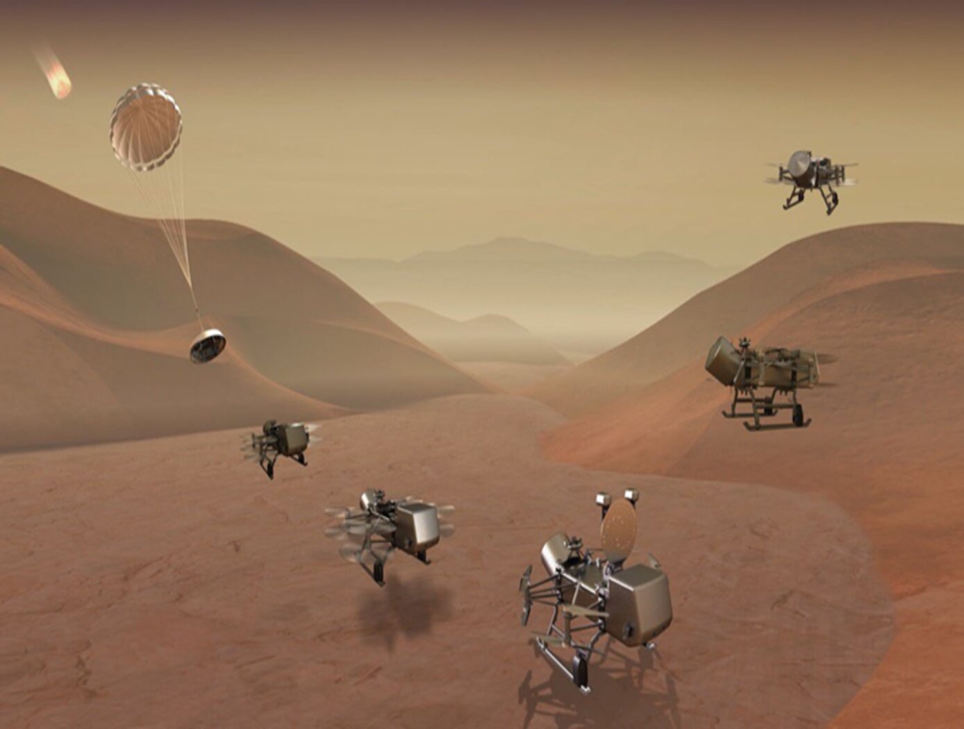
Next generation autonomous planetary exploration missions require advanced sensing capabilities for choosing proper landing areas for the vehicles. Current tools do not have the capability to allow vehicles outside the range of terrestrial control to autonomously perform safe landing operations. The Ocellus 3D lidar developed by the NASA Goddard Space Flight Center is a lightweight, small-footprint 3D lidar system for planetary and lunar exploration. The new 3D lidar can perform both altimetry (or range-finding) measurements from high altitudes and, at lower altitudes, terrain mapping and imaging. These measurements provide the necessary data for autonomous systems to select safe landing areas for planetary exploration vehicles. Developed to aid in the safe landing and navigation of the rotocopter for the Dragonfly mission to explore Titan, the Ocellus 3D lidar may be used for a wide variety of altimetry and terrain mapping purposes both in space and terrestrially.